Glaciers
Ice
The carving
Book the cruiseGuides
Language
Currency
Check open spotsfrom $99 · cancelling is freeDecide with ease
A quick fiord quiz
Say what you most want to see and how long you want on the water, and a matching listing appears with its from-price.
The one for you
from $99
A 2-hour cruise along the 16 km fiord and out past the lighthouse on St Anne's Point.
The one for you
from $82
A 105-minute cruise past waterfalls, wildlife and rainforest, with a cafe and bar on board.
The one for you
from $97
A nature cruise of 1.5 to 2 hours, with a lunch you can book at least 24 hours ahead.
The one for you
from $117
Its operator's longest cruise, up to 2 hours 15 minutes, with a nature guide on board.
Is Milford Sound a fjord? It is, and New Zealand spells it fiord. Here is how glaciers dug it, why it is called a sound, what lies under the boat and how Ngāi Tahu tell its making.
Editorial team, milfordsoundcruise.click · Updated November 8, 2026 · ~7 min read
The question has a clear answer. Milford Sound is a fiord, which is the spelling New Zealand uses for what Norway calls a fjord. Mitre Peak Cruises puts it plainly: despite its name, the valleys were carved by an ancient glacier, which essentially makes it a fiord and not a sound.1 The word sound, in the strict sense, belongs to a river valley the sea has flooded, and Milford is not that.
So why is Milford Sound not a fjord by name? Because it was named by sailors, not geologists. DOC records that the Welsh sealing captain John Grono named it after his birthplace, Milford Haven.5 The name stuck long before anyone studied the rock that lay beneath it.
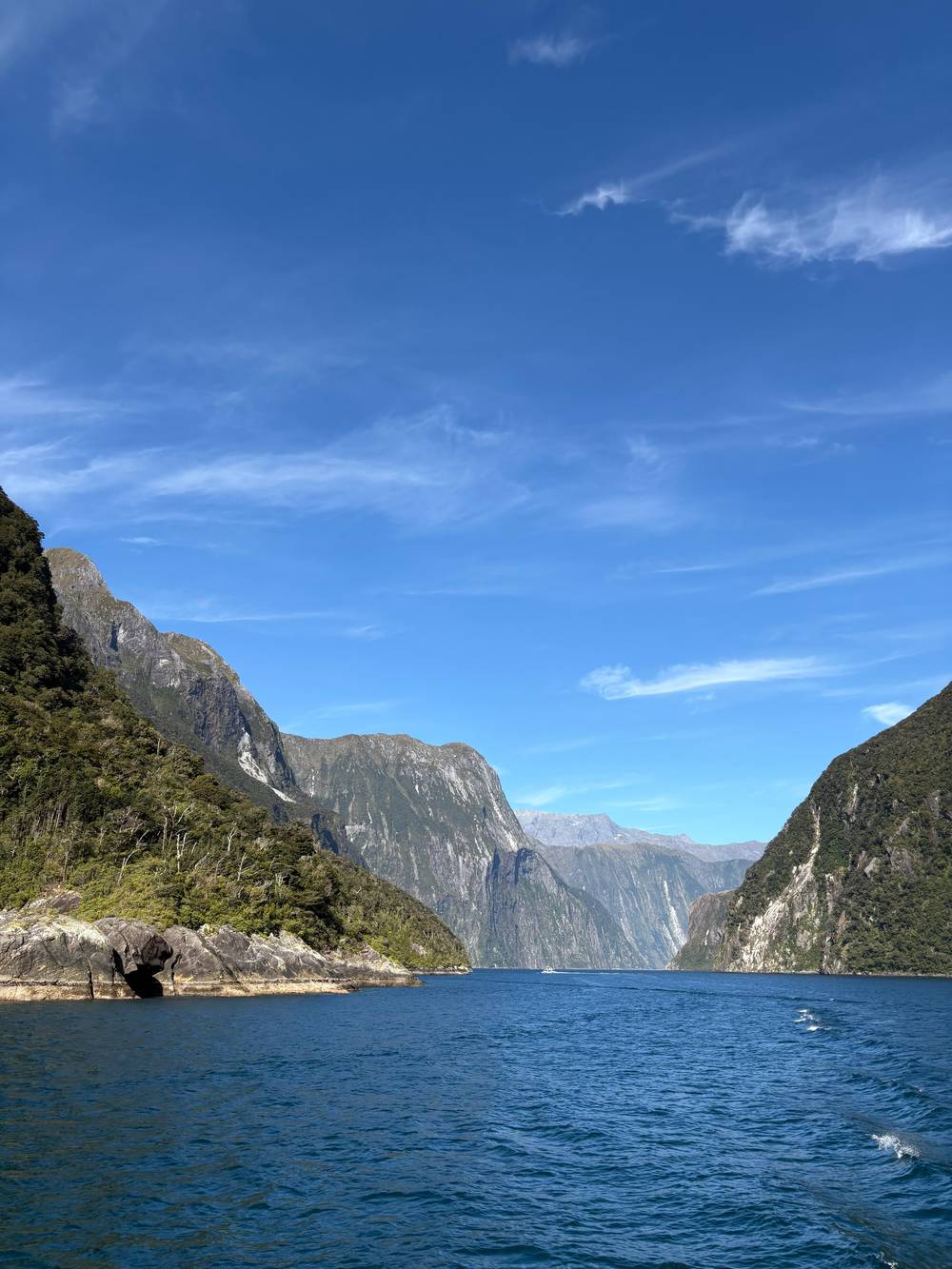
The national park itself uses the right word. DOC counts 14 fiords along the coast, stretching from Milford Sound/Piopiotahi at the northern end down to Preservation Inlet, some reaching up to 40 km inland.6 Visit Fiordland adds that Milford is the northernmost of them, and the only one of the 14 you can reach by road.7,8 That road access is the reason it is the fiord most people see.
The words, sorted
| Word | What it means here | Milford Sound? |
|---|---|---|
| Fiord | A glacier-carved valley the sea has filled | Yes1 |
| Fjord | The Norwegian spelling of the same thing | Yes, same feature |
| Sound | The name sealers gave it5 | Only in name |
| Glacier | Moving ice | Not now; ice remains up on Mount Pembroke16 |
| Sill | The rubble ridge at a fiord's mouth | Yes, at the entrance20 |
Meanings in plain words; Milford's features as DOC, RealNZ and Mitre Peak Cruises describe them.13
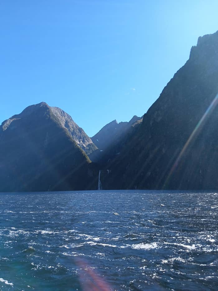
The fiord is a valley that ice made and the sea later flooded. DOC explains that over the past 2 million years glaciers repeatedly spread across Fiordland, gouging into the rock and leaving U-shaped valleys that now hold lakes or seawater.9 Visit Fiordland dates the shaping of Milford itself to glaciation between 80,000 and 12,000 years ago.3
You can read that history from the deck. DOC traces the U-shaped profile and the bare, steep faces of hard gneiss, diorite and granite to glaciers grinding and rounding the rock.13 Visit Fiordland lists the other signs: cirques at the heads of valleys, rounded islands, hanging valleys and moraine left behind by the ice.14 Mitre Peak Cruises uses Sinbad Gully to illustrate the shape.15
Is Milford Sound a glacier, then? Not today. The glacier that made it is long gone, and what fills the trough now is seawater. Ice survives only high up: RealNZ points out Mount Pembroke and its glacier above Harrison Cove, a small reminder of what once filled the whole valley.16 Visit Fiordland says fiords occur in only four places on the planet, so the combination of ice and coast that made this one is rare.17
How deep is Milford Sound? DOC gives 265 m in places, and says the fiord runs 16 km to the open sea.2 DOC also notes that the mountains carry on beneath the surface to as much as 265 m, so the walls you see above the boat simply keep falling below it.24 Mitre Peak rises 1,692 m on the same line, which makes the full height of rock from the fiord floor to its summit enormous.25
Visit Fiordland also measures the fiord at 16 km, from beneath Rahotu / Mitre Peak to the Tasman Sea.26 That is the distance the small-boat cruise covers before it turns past the lighthouse at the entrance. On a map it looks short; from the water, with walls rising on both sides, it feels much longer.
Near the entrance the floor rises again. DOC describes moraine sills at the mouths of the fiords that limit the exchange of water and material with the open sea, which is part of why these environments are so sensitive.20 The sill is the rubble a glacier pushed in front of it and left at its furthest reach. It is invisible from the boat, but it shapes everything that lives inside.
Three forces
Glaciers
The carving
Book the cruise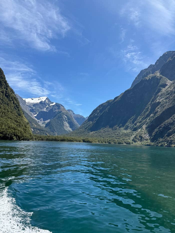
Water
The fresh lid
Book the cruise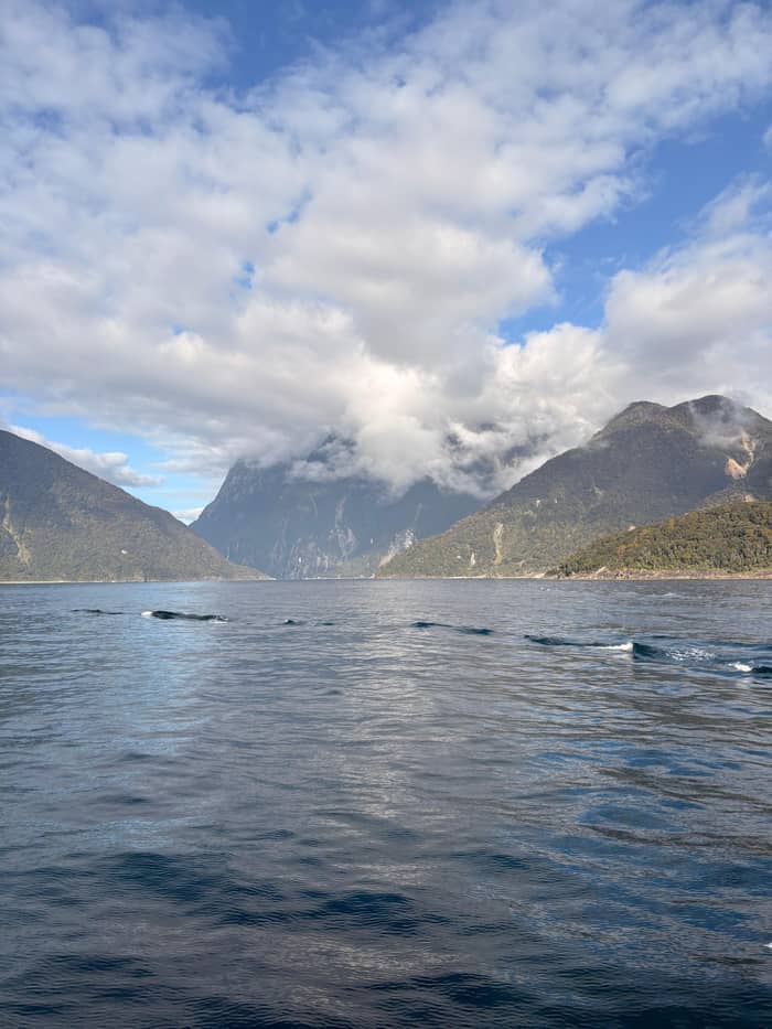
Uplift
The plates
Book the cruiseThe fiord has a second layer you cannot see from the boat. DOC says the very high rainfall keeps a permanent layer of fresh water floating on the sea, and its marine reserves page puts its depth anywhere from 5 cm to over 10 m.30,18 Mitre Peak Cruises explains that this dark freshwater does not mix with the sea water beneath it.31
The colour comes from the forest. DOC says tannins washed out of the vegetation stain the water the colour of weakly brewed tea, and that this dark lid cuts the light so much that most marine life is restricted to the top 40 m.21,19 Visit Fiordland calls the result deep-water emergence: creatures normally found far down live just a few metres below the surface.32
The best-known of them is black coral. DOC says the fiords hold black coral trees in huge numbers, about 7 million colonies and among the largest populations anywhere, some up to 200 years old.33 Visit Fiordland says that in Milford Sound black coral can reach 6 m in height.34 DOC adds brachiopods, clam-like animals that have barely changed in over 300 million years.35 All of it lives inside Piopiotahi (Milford Sound) Marine Reserve.36
Price a fiord cruise
Set your group size and compare cruises with commentary on the fiord.
Weigh up 3 options
Set your group size and compare cruises with commentary on the fiord.
≈
View≈
View≈
ViewFigures are GetYourGuide from-prices, translated at the ECB reference rate. The booking step shows what you pay exactly.
The fiord's story
2 million years
Glaciers cover Fiordland at times.9
80,000 years ago
Glaciation shapes the fiord until 12,000 years ago.3
Centuries
Takiwai is gathered near the entrance.10
Sealing era
John Grono names it after Milford Haven.5
1878
Donald Sutherland builds his huts.11
1986
Fiordland becomes a World Heritage Area.12
Long before the geologists, Ngāi Tahu had their own account of how this coast was made. DOC's Fiordland page notes that many Māori legends recount the formation and naming of the region, and that the demigod Tuterakiwhanoa is said to have carved its rugged landscape from formless rock.37 To Māori, Visit Fiordland says, Fiordland is Te Rua-o-te-moko.38
A fuller version appears in the foreword to the government's Milford Opportunities Project report, written by Tā Tipene O'Regan. In it Tū Te Rakiwhanoa, a descendant of Aoraki, finds the wreck of Te Waka o Aoraki and sets about preparing it as a home for the people who would follow.39 Beginning at Puysegur Point, he cuts into the land with his adze.40
The foreword then tells how Tū, working with Hine Titama (later Hine-nui o Te-Pō), turned to the last and greatest of their tasks, the carving of Piopiotahi Milford Sound.41 It calls Piopiotahi the crowning work of Tū Te Rakiwhanoa, and a place of deep cultural significance for Ngāi Tahu.42 This is a living tradition, shared here only as its holders have published it.
Video
Joshua Schwartz on YouTube · The video only starts loading on your tap.
We must be very careful of this taoka, this treasure, lest we love it to death
Spot the geology
The fiord's Māori name is Piopiotahi. DOC says it comes from the native thrush, the piopio, now probably extinct.4 Māori knew this coast as a source of stone. Takiwai, a translucent kind of greenstone, came from Anita Bay and the coast around the entrance, DOC records, and a sea route carried greenstone south to Murihiku, Southland.10,43
European ships passed it by for a long time. RealNZ notes that Captain Cook and other explorers stayed away from the entrance, hidden and dangerous as the coast was.44 The English name came with the sealers, through John Grono and his memory of Milford Haven in Wales.5 The first European to live here, DOC says, was Donald Sutherland, who in 1878 built 3 thatched huts and called them the City of Milford.11
Protection came much later. DOC says Fiordland National Park was constituted in 1952, now covers over 1.2 million hectares and became a World Heritage Area in 1986.12 The same report that tells the Ngāi Tahu story recalls Ken Piddington, the founding head of DOC, warning that this treasure must be cared for lest it be loved to death.45,23
The forces that built the fiord have not finished. Visit Fiordland says the collision between the Indo-Australian and Pacific plates is still visible in the Southern Alps, and that Fiordland was formed by heat, compression, volcanic activity, uplift and, most recently, glaciation.46,47 The ice did the carving, but the mountains it carved were pushed up by the plates.
Emergency Management Southland says the Alpine Fault, which runs nearly the whole South Island, passes right across the fiord's entrance.22 It can produce earthquakes of magnitude 8 or more, on average every 300 years, with a 75% chance of one in the next 50 years.48 The agency also warns that a large landslide falling into the fiord could set off a tsunami.49
That sounds alarming, but the same agency stresses that such an event during a short visit is extremely unlikely.50 Its rule of thumb: a quake that is long, a minute or more, or strong means heading uphill and away from the shore at once.29 On a cruise, follow the crew. Then enjoy the trip, knowing that the landscape around you is still being built.
FAQ
It was carved by a glacier, which makes it a fiord despite its name.1
John Grono named it after Milford Haven in Wales.5
DOC says the name comes from the native thrush, now probably extinct.4
DOC says they stain the fresh surface layer the colour of weak tea.21
Sources
Continue reading
Wondering which sailing to pick or what if it rains? Ask a real person.